
Emerging
Published Aug 10, 2026Updated Aug 11 Major3
96%
India Formally Names 27 Arunachal Pradesh Sites; China Rejects Maps
India formally named 27 locations in Arunachal Pradesh, including strategically important border sites and mountain passes, to strengthen its administrative and cartographic claims. China rejected the move as invalid and unilateral, maintaining its own territorial assertions and standardized names for the region.
Quick Facts
- India officially registered 27 Arunachal Pradesh locations on updated maps
- China rejected India's map and naming as invalid and unilateral
- Named sites include strategic passes and culturally significant locations
- China issued its own standardized names for the region in 2017, 2021, and 2023
- India (Home Ministry and Arunachal Pradesh government)

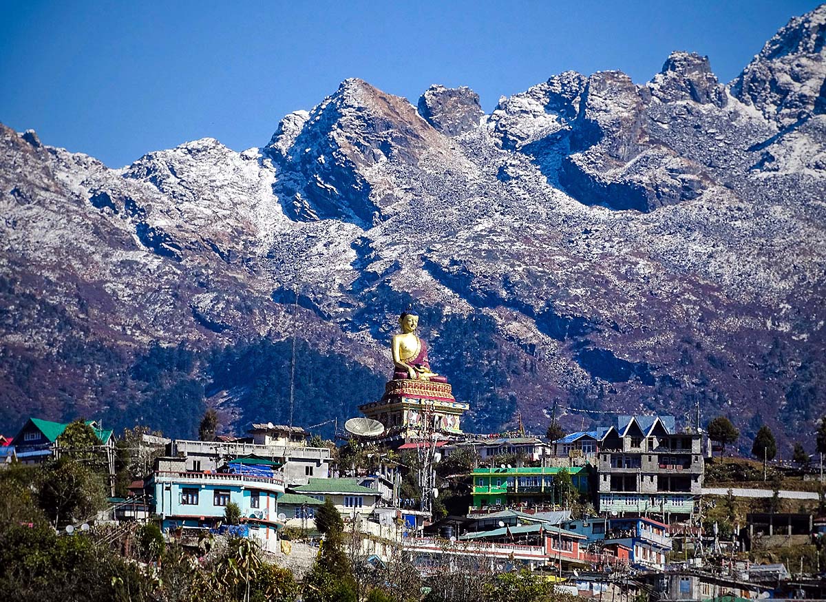
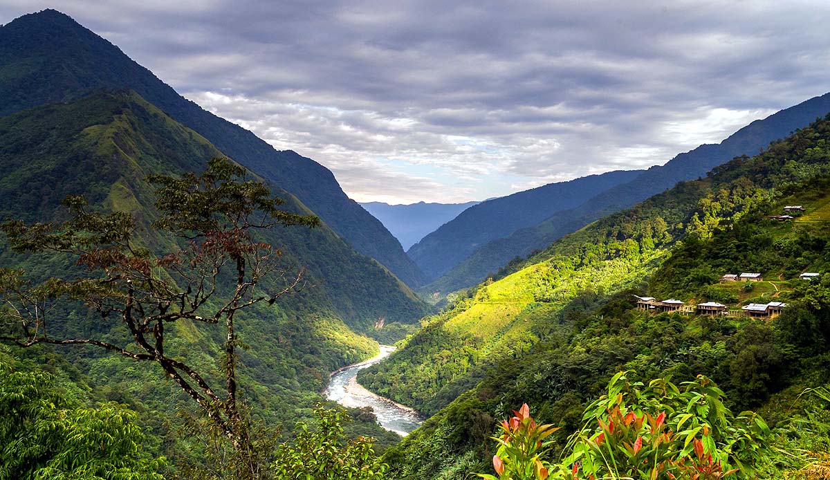
India has officially registered 27 locations in Arunachal Pradesh on updated Survey of India maps, including strategically significant border sites such as Longju and Thag La, as well as four mountain passes and a high-altitude lake. The Home Ministry stated the measure was undertaken in consultation with the Arunachal Pradesh government to ensure proper identification, enhance public awareness of geographical and historical significance, and improve administrative coordination across departments.
China's Foreign Ministry spokesperson Guo Jiakun rejected the move on Monday, calling it invalid and unilateral. Beijing does not recognize India's Arunachal Pradesh map and refers to the region as "Zangnan" (southern Tibet). China has issued its own standardized names for locations in the region in 2017, 2021, and 2023, treating the area as part of its territory. The Chinese Foreign Ministry maintains that naming or mapping decisions do not alter the legal status of disputed territory, and China views such actions as assertions of Chinese sovereign authority.
The renamed sites include Longju, a location central to early India-China border tensions in 1959, and Thag La, where combat began in the 1962 India-China War. Other formally designated strategic passes include Bisa, Dojo La, Riza La, and Pukar La; Jayrampur, a key logistics center in Changlang district; and cultural-historical sites such as Jaswant Garh, commemorating soldier Jaswant Singh Rawat, and Sher-e-Thapa memorial dedicated to Trilok Singh Thapa. The list also includes Sambho Sarovar, a high-altitude lake.
Arunachal Pradesh shares international borders with China (Tibet Autonomous Region) to the north, Bhutan to the west, and Myanmar to the east, with Assam and Nagaland to the south. The state controls tributaries of the Brahmaputra River—including the Subansiri, Kameng, and Lohit—and major passes such as Thag La and Bum La, which hold military and water-security significance for northeastern India and Bangladesh. India bases its border claim on the McMahon Line, established at the 1914 Shimla Conference; China rejects this as a legacy of British imperialism.
Chinese experts have criticized the move as unilateral and potentially damaging to recent diplomatic progress. India and China reached a six-point border agreement in December 2024, reopened the Nathu La pass in July 2026 after six years, and held foreign minister talks in July. However, experts on both sides warn that such actions complicate dialogue, though both governments maintain official channels remain open.
Why This Matters
India has formally registered 27 locations in Arunachal Pradesh on official maps, including strategically significant sites (Longju, Thag La) and mountain passes, as a step to strengthen administrative coordination and territorial documentation. China has rejected the move as invalid and unilateral, maintaining its own naming conventions issued in 2017, 2021, and 2023. Both India and China claim sovereignty over Arunachal Pradesh—India bases its claim on the 1914 McMahon Line; China refers to the region as "Zangnan" (southern Tibet). The region controls tributaries of the Brahmaputra River and major military passes, affecting water security and strategic logistics for northeastern India and Bangladesh. The action follows a December 2024 border agreement between the two countries, and experts warn such unilateral measures may complicate ongoing diplomatic efforts, though both governments maintain official channels remain open.
Timeline & Sources
Jan 1, 1914
WireShimla Conference establishes McMahon Line as India-China boundary
Jan 1, 1959
WireLongju becomes center of early India-China border tensions
Aug 9, 2026
WireIndia releases updated Survey of India maps with 27 formally named Arunachal Pradesh locations
Aug 10, 2026
WireChina's Foreign Ministry rejects India's maps and naming as invalid and unilateral
Sources
- चीन बोला- भारत का अरुणाचल का मैप जारी करना गलत: इससे हमारा दावा नहीं बदलेगा; भारत ने 3 दिन पहले नक्शा जारी ...Dainik BhaskarMediaAug 10, 2026
- भारत ने अरुणाचल प्रदेश के 27 स्थानों का औपचारिक नामकरण कियाDrishti IASMediaAug 11, 2026
- अरुणाचल के नक्शे पर चीन बौखलाया, जानिए क्या बोल रहे एक्सपर्टAajTakMediaAug 10, 2026