
Yesterday·Emerging
Follow-up 53m ago6
95%
Komagatake Volcano Alert Raised to Level 2; Small Eruption Possible
Japan's Sapporo Regional Meteorological Bureau raised the alert level for Hokkaido's Komagatake volcano to Level 2 on October 2, 2026, the first time since the system's introduction in 2007, due to over 160 volcanic earthquakes since late September and observable tilt deformation at the summit. Authorities warn of a possible small eruption and have closed hiking trail gates in the three affected municipalities.
Quick Facts
- Eruption alert level raised from Level 1 to Level 2
- Volcanic earthquakes increased significantly
- Tilt deformation observed at summit crater
- Trail gate closure implemented
- First Level 2 alert since system introduction in 2007
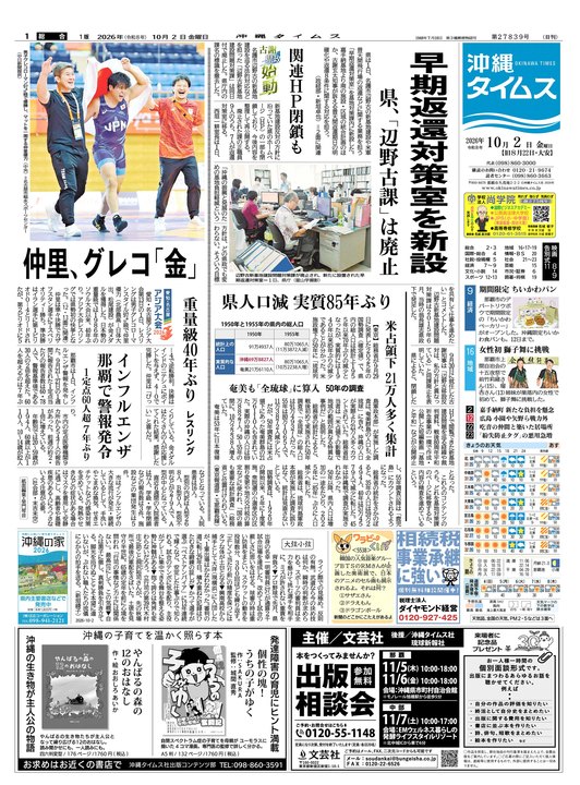




Japan's Sapporo Regional Meteorological Bureau raised the eruption alert level for Komagatake volcano to Level 2 (crater perimeter restriction) on October 2 at 7:30 a.m., citing intensified volcanic activity and the possibility of a small eruption. This marks the first time since the alert system was introduced in December 2007 that Komagatake has reached Level 2.
Seismic activity at the volcano has accelerated significantly since late September. Between September 26 and October 1, volcanic earthquakes exceeded 160 in number, with the most notable being a magnitude 1.4 earthquake on September 28 at 8:30 p.m. A magnitude 1.4 earthquake is considered moderately large by volcanic standards. Since October 1, the frequency of earthquakes has continued; as of October 2 at 8 a.m., 93 earthquakes were recorded at the summit observation point in the 24-hour period. Notably, no earthquakes with magnitude 1.0 or greater, nor any volcanic tremors, have been recorded since October 1.
Physical deformation of the volcano has also been observed. Since September 26, tilt meters installed at the summit have continuously recorded upward tilting toward the summit crater, with slight acceleration noted from October 2 onwards. Monitoring cameras, however, show no significant changes in fumarolic activity from the Showa-era crater.
The alert affects three municipalities—Nanae, Shikabe (Shikabe Town), and Mori—which are located within approximately 4 kilometers of the crater. Authorities warn residents and visitors to avoid the crater area due to the risk of ballistic rock fragments and volcanic ash. The Akkai trail gate has been closed as a precautionary measure. Historical context shows that Komagatake erupted repeatedly between 1996 and 2000, with the 2000 eruption producing ash fall at lower elevations and scattered stones near the crater. A 1942 eruption was classified as moderate, and a major magma eruption in 1929 caused significant damage through pyroclastic flows and ash fall.
Why This Matters
Komagatake's elevation to Level 2 marks the first such alert since the system began in 2007, affecting three municipalities (Nanae, Shikabe, Mori) within 4 km of the crater. The measured increase in seismic activity (160+ earthquakes in one week) and documented summit tilt deformation trigger observable restrictions: trail closures, public access bans to the crater zone, and heightened monitoring. The 2000 eruption produced ash fall and scattered stones; a 1942 eruption was classified as moderate; a 1929 event caused pyroclastic flow damage. Current measurable stakes involve regional air quality if ash disperses, proximity-based evacuation protocol triggers, and tourism/infrastructure continuity in affected towns.
Timeline & Sources
Sep 23, 2026
WireVolcanic earthquakes began to increase at Komagatake
Sep 26, 2026
WireTilt deformation toward summit crater observed; baseline for earthquake counts
Oct 2, 2026
WireAcceleration of tilt deformation toward summit crater noted
Oct 2, 2026
WireAlert level officially raised from Level 1 to Level 2 by Sapporo Regional Meteorological Bureau
Related Signals
- ScienceRelated Topic
Magnitude 4.7–4.8 Earthquake Strikes Kupang Regency, East Nusa Tenggara
Follow-up 1d ago
- ScienceRelated Topic
Dormant Russian volcano reawakens after 500 years; NASA-India satellite tracks eruption
Follow-up 3d ago
- ScienceRelated Topic
Mount Merapi erupts, pyroclastic flow reaches 2 km toward Boyong River
Follow-up 4d ago
- ScienceGeographic Impact
Tokyo's 34-day rain streak ends; weather shifts to sun in October
Follow-up 2d ago
Sources
- 【10月1日午後4時更新】北海道駒ヶ岳で火山性地震が増加 噴火警戒レベル「2」引き上げの可能性も 今後の情報に注意Yahoo!ニュースMediaOct 1, 2026
- 火山情報=札幌管区気象台発表(2日7時30分)沖縄タイムス社MediaOct 1, 2026
- 北海道・駒ヶ岳で火山性地震が急増 160回超えで気象台注意呼びかけ 噴火警戒レベル引き上げの可能性もHTB 北海道テレビMediaOct 1, 2026
- 北海道駒ヶ岳 噴火警戒レベル2(火口周辺規制)に引き上げウェザーニュースMediaOct 1, 2026
- 北海道駒ケ岳、警戒レベル2に引き上げ 小噴火の恐れ 気象庁(時事通信)Yahoo!ニュースMediaOct 1, 2026
- 【速報】駒ケ岳 噴火警戒レベル2に引き上げ 赤井川登山道のゲート閉鎖北海道新聞デジタルMediaOct 1, 2026